Migration
Bakhtiari Migration
In April 1966, Brooks accompanied the Bakhtiari on their yearly migration across the Bakhtiari mountains to the summer pastures. The interactive map below details the route and provides up to date photos from key points along the way. Below this are links to the photographs Brooks took of the journey’s four main stopping points.
▸Read Brooks’ Outline of Migration Route 1964
▸Read Brooks’ Outline of Migration Route 1966
- Read the detailed introduction to the materials about David Brooks’ Bakhtiari migration
The Migration Route
This link downloads a KMZ file. To open this file make sure you have Google Earth installed on your computer.
Migration map
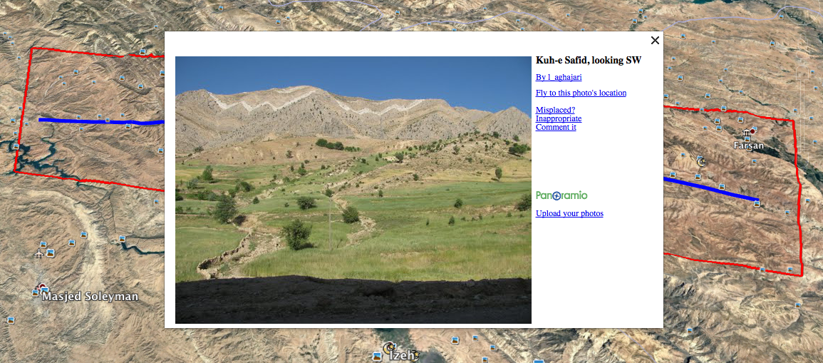
Map of Brooks’ Migration Route: Map data ©2015 Google
View the photo galleries and fieldwork diary extracts:
Resources
- David Brooks’ Fieldwork diary, 1964 (Re-typed) (last modified: 28 July 2017)
- David Brooks’ Fieldwork diary, 1966 (Re-typed) (last modified: 28 July 2017)
Sounds of the Bazuft Crossing
David made some recordings of the sounds of the migration and of crossing the Bazuft river. These recordings can be found in the archive on Reel 06 and Reel 11 (both available in MP3 format).
Further information can be found in the Dancing the World archive. Click here for direct access to the files: Ecology and Migration.